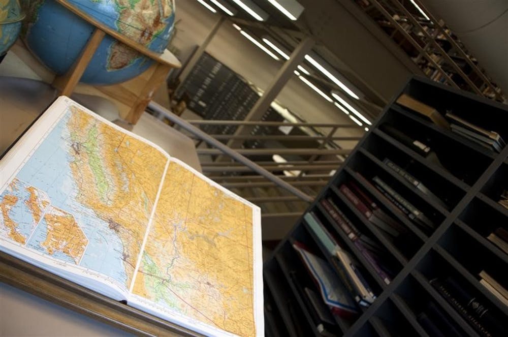
Nestled away in the Student Building is a unique library that doesn’t have textbooks or journals or even microfilm – it houses maps.
But after more than 35 years as an official campus library, the Geography and Map Library is closing. The library is scheduled to close by the start of spring 2010.
“Libraries are changing, and this change is truly evidenced on a national scale,” library spokesman Eric Bartheld said. “As more and more resources are available online and space on campus becomes more desirable, we see some of our smaller libraries closing.”
The Geography and Map Library houses collections of atlases, topographical maps and a wide array of other maps, including information about population growth, old building sites and World War II battlegrounds, branch coordinator Heiko Muhr said.
Most of the collections, Muhr said, will be moved to the Herman B Wells Library, while some maps will stay in the Geography Department.
But geography professor Dan Knudsen doesn’t buy the argument that digitizing resources makes them more available.
“What falls through the cracks there is the serendipitous nature of research,” Knudsen said. “One often goes to the library having only a vague idea of what one is looking for. The ability to look at the book that you thought you went for and all of the books on the shelf next to it is extremely important.”
And it’s not just research that will be impacted. Some say teaching will be more difficult, too.
“It makes a tangible difference – I need to see the maps, touch the maps,” anthropology professor April Sievert said. “Otherwise you can’t really see, get a sense of space. A digital version is like a little magnifying glass down on a real map.”
Sievert, who has an office in the Student Building and regularly teaches classes that use the library, said moving the collections to the Main Library will make it harder to teach.
She said she regularly teaches from maps such as the Sanborn Fire Insurance maps, which include detailed information about building locations, materials and construction from the 1880s to early 1900s.
It would be difficult to carry a stack of large maps from the Main Library to the Student Building.
“The maps, combined with the people who really know where they are, are invaluable,” Sievert said, who added that she sometimes goes into the library and stumbles upon resources she hadn’t known about before.
Muhr said the Geography and Map Library is an especially good resource because it’s a depository for U.S. government maps.
That, along with the efforts of previous librarian Dan Seldin, makes the library unique, Muhr said.
Seldin, who worked at the library from 1974 to 1997, was known for traveling to the Library of Congress in Washington and bringing back duplicates of special maps.
But as of the end of the semester, the library that was built in the old women’s gymnasium and pool will be gone, its resources moved to the corner of 10th Street and Jordan Avenue.
No official decision has been made as to what will replace the space. Some of the suggestions have included it becoming classroom space.
“There’s definitely a little sadness,” Muhr said. “It will be hard to say goodbye.”
Geography Library expects to close as technology advances
Get stories like this in your inbox
Subscribe