
By Richard Tribou and David Harris
Orlando Sentinel
ORLANDO – Tropical Storm Humberto began its trek north on Saturday, keeping it well off Florida's coast and allowing the state to dodge another bullet.
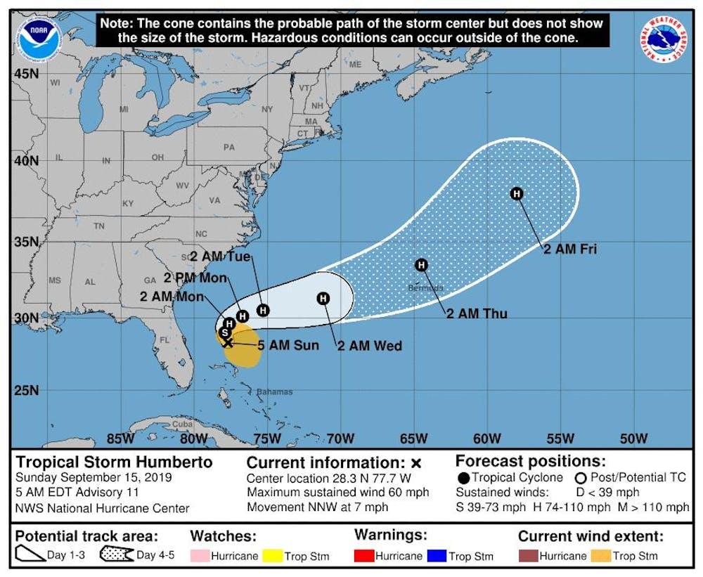
As of 5 p.m. EDT, the National Hurricane Center puts the system about 70 miles north of Great Abaco Island and 105 miles northeast of Freeport on Grand Bahama, and moving north-northwest at 7 mph, but expected to stay well away from Florida this weekend. Sustained winds were 50 mph.
"Tropical Storm Humberto continues to move away from the northern Bahama Islands," said Fox 35 meteorologist Brooks Tomlin. "Humberto is forecast to remain well east of Florida tomorrow, then turn east-northeasterly late tomorrow into Monday, moving towards the open Atlantic Ocean. Locally, we'll remain windy, with squally rain showers passing by on Sunday. Our biggest risk will likely be the enhanced seas, swells and rip currents at our Atlantic beaches through the middle of next week."
Tropical storm-force winds extend out 140 miles, and it's expected to pass close to the northwestern Bahamas Saturday, which are still recovering from the devastating effects of Hurricane Dorian. The NHC said that the worst squalls and winds, though, were to the north and east, away from the islands.
After it passes the Bahamas, the storm is projected to become Hurricane Humberto by Sunday night with long-range forecasts parking within striking distance of Bermuda by late Wednesday night with 100 mph winds and 120 mph gusts.
The path this weekend keeps the storm more than 200 miles off Florida's coast with only breezy days and an inch of rain projected for the state.
The NHC dropped the Tropical Storm Watch that was in effect on Friday from the Jupiter Inlet to Flagler-Volusia county line. There also is no longer a tropical storm warning for the northwestern Bahamas, but the storm expected to bring 1-3 inches with pockets of 6-inch rain to parts of the island nation, although not much storm surge threat is projected.
Meanwhile, two more tropical waves are being tracked by the National Hurricane Center. One system formed overnight located in the Gulf of Mexico with the other is located between Africa and Leeward Islands in the Atlantic.

