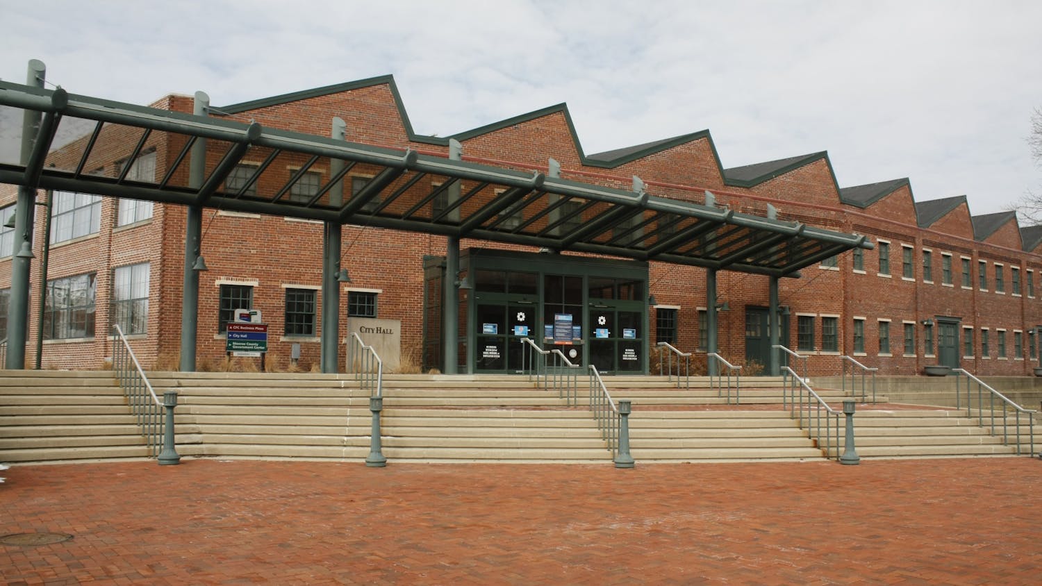
City officials hope to reduce traffic congestion and lessen Bloomington residents' reliance on automobiles over the next decade.\nFriday, Bloomington Mayor John Fernandez unveiled the city's 10-year plan for alternative transportation routes and greenways. It calls for the construction of bike-pedestrian sidepaths on heavily traveled streets and a network of connected paths that loops the city's perimeter. \nA city-wide network of connected bicycle and pedestrian facilities is scheduled for 2010, Fernandez said. The routes and intended for commuting and recreation.\n"It'll connect neighborhood to neighborhood, places within our community," he said. "It'll improve our way of life and bring us together. I think that's what local government is supposed to do."\n The city council appropriated $500,000 to the plan in the 2002 city budget, which passed last Wednesday. The city's already invested $150,000 in alternative transportation over the past three years.\n The implementation of the plan should cost local taxpayers about $5 million by 2010, Fernandez said. \n"The Bloomington community is invested in making this plan a reality," City Planning Director Tom Micuda said. "This plan provides an outline of key projects. However, it is a living document and will need to be reviewed periodically to reflect changing trends, outlooks and community needs."\nIntroduced at City Hall Friday, The Alternative Transportation and Greenways System Plan lays out a tentative schedule for connecting existing bikeways throughout the city and creating new routes. Officials said the plan's implementation will make it considerably easier to walk or bicycle to work, school or areas of commerce.\nA copy of the 90-page document is available for public review at the Planning Department's office at City Hall, 401 N. Morton St.\nCouncilman Chris Gaal, an at-large Democrat who has been the initiative's main advocate, encouraged public input. The plan serves mostly as a rough guideline that sets standards for future infrastructure projects.\n"We're moving forward with implementation, but you'll see changes even in the short term," he said. "There's a clear commitment by the administration and council to set up alternative transportation routes. \n"This isn't a road map, but a much different kind of map."\nGaal and other officials cited a 1995 federal study that found 40 percent of motor vehicle trips in the United States are less than two miles in length. They said a better alternative transportation system would allow residents to make such short trips with a 10-minute bike ride or a 30-minute walk.\nPublic officials said the ambitious initiative will improve the local quality of life and promote healthy, active lifestyles. They also touted it as a benefit to the environment.\n"This project will help mitigate the traffic on our streets," said Mike Gavin of the city's Bicycle and Pedestrian Safety Commission. "And it's clear that congestion is a problem -- smell the air or listen to the constant drone and hum of motorized traffic."\nGavin chairs a 16-member steering committee of local officials and volunteers. Since late last year, it has been closely working with Ratio Architects Inc. of Indianapolis, which has signed a $100,000 contract with the city.\nThe plan lists specific projects for the city to undertake during the next four years and broad goals over the next decade, including bike lanes throughout the entire downtown area. Funding comes on a annual basis, and the plan's implementation depends on the support of future city councils. \nIt incorporates existing facilities, such as the Clear Creek Trail and bike lanes on Lincoln and Washington Streets. It also includes the city's plan for converting the north-south CSX railroad tracks and the McDoel switchyard into a greenway and multi-use trail. \nThe project is expected to cost $4 million and would rely on federal grants. With construction slated for 2004, the trail would run from Country Club Drive north to Ninth Street Park and west to Adams Street.\nThe Bloomington Plan Commission will consider the plan at its Oct. 1 meeting and could adopt it then or in November. Officials expect the city council will adopt it later this year.\nThe city's first multi-purpose trail, Clear Creak Trail, opened earlier this summer. Parks officials said about 15,000 people use it for recreation and fitness.
Bike paths unveiled
Get stories like this in your inbox
Subscribe


