
The National Weather Service in Indianapolis issued a severe thunderstorm watch and flood advisory for Monroe County on Monday afternoon as a storm caused heavy wind, hail and rainfall.
A severe weather threat will end at midnight. The NWS said severe thunderstorms were possible, as well as isolated tornadoes.
A thunderstorm warning went into effect from 4:15 to 4:45 p.m. after a severe thunderstorm was located southeast of Bloomington, moving east at 30 mph with gusts reaching 60 mph and quarter-size hail. A warning means the severe weather effect is imminent or occurring.
The advisory said to expect hail damage to vehicles and wind damage to roofs, siding and trees. The advisory also included parts of Brown, Lawrence and Jackson counties. The NWS issued a severe thunderstorm watch at 4:33 p.m., which will remain valid until 7 p.m.
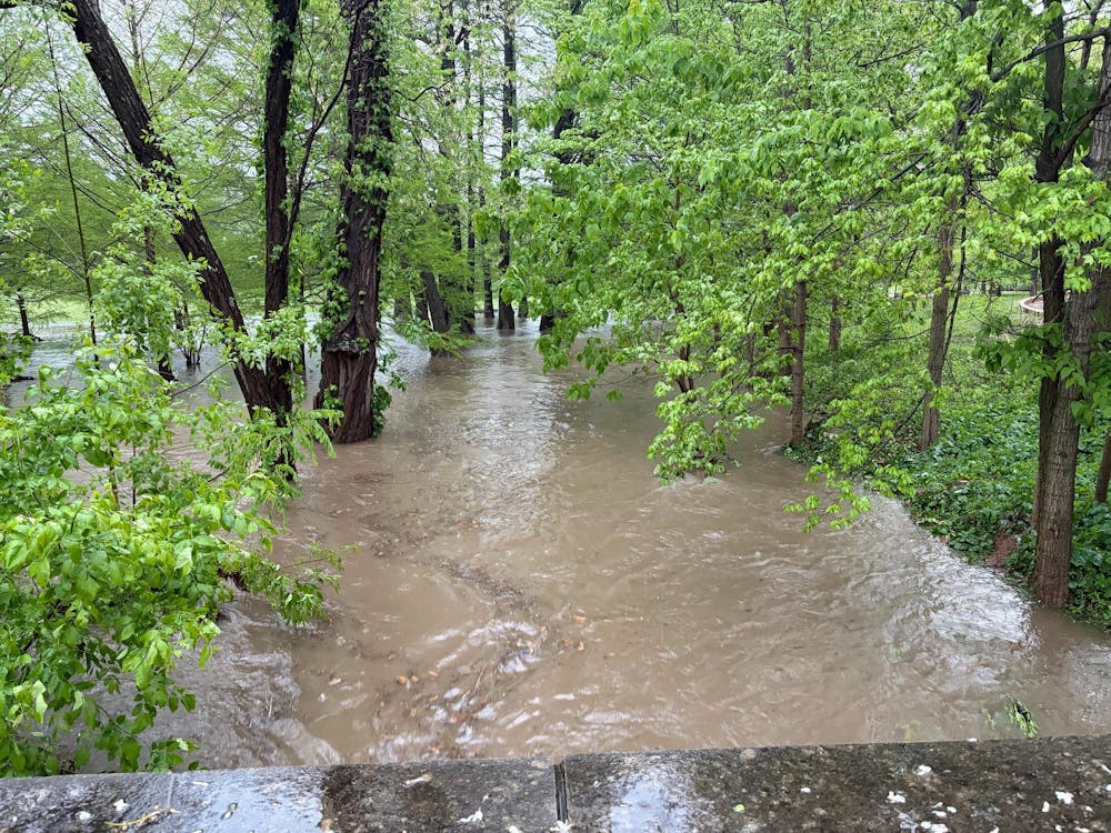
The flood advisory began at 4:14 p.m. and will remain in effect until 7:30 p.m. Monday night. A flood advisory means flooding could cause significant inconvenience but is not bad enough to warrant a warning. According to the advisory, thunderstorms caused heavy rainfall, with up to two inches in some areas, which could cause minor flooding in low-lying or poor drainage areas.
The NWS also issued a flood watch, which means conditions are favorable for a flood to occur, until 2 a.m. Tuesday morning.
The advisory also includes Greene, Knox, Daviess, Lawrence, Martin, Owen and Sullivan counties and recommended turning away when encountering flooded roads.


