
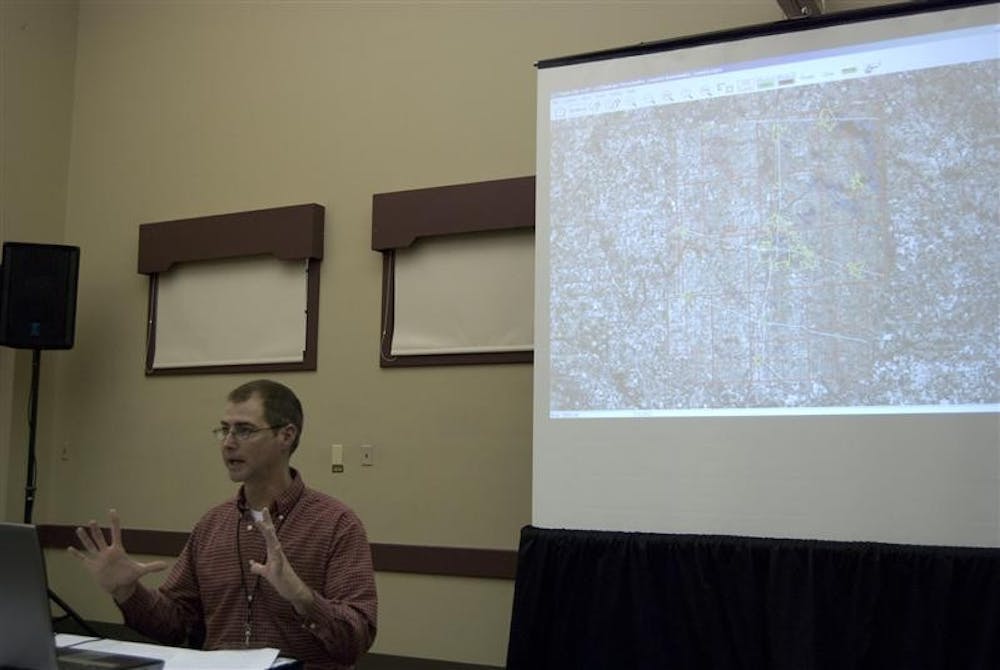
The Indiana Geographic Information Council hosted its annual conference in the Bloomington-Monroe County Convention Center on Tuesday and Wednesday. The event featured new geologic products and technologies from companies around the nation.
The event is usually held in Indianapolis, but moved to Bloomington this year.
The conference had exhibits from 19 different organizations that provide technologies and services for mapping Indiana’s terrain and other geologic information. Each company exhibited computer applications and other technologies that will be used by city, state and federal governments.
“These organizations are private, government-owned or not-for-profit. They all work to improve and ease our lives,” said Phil Worrall, executive director of the Indiana Geographic Information Council.
Worrall said the Indiana Geographic Information Council includes nearly 300 active members.
All the members are volunteers and work together to enhance technologies used by the state to create various maps of Indiana landscaping.
Some of the maps are basic terrain maps, while others are used to locate natural resources or oblique images otherwise impossible to locate with older technology.
“One of the most interesting exhibits we had today was a survey global positioning system from Seiler Instruments. The Global Positioning System they are developing would, for example, help in pinpointing accurately the locations of manholes, fire hydrants and other underground infrastructure for construction or repair purposes. I think this will be very interesting to see in the future,” Worrall said.
“The setting here in Bloomington is perfect for this event. We had over 300 guests; the Convention Center was perfect for accommodating our visitors,” said Laura Haley, Geographic Information Systems manager.
University Information Technology Services and the Indiana Geological Survey played a big part in supporting the program. The field of mapping is very broad and cooperation from different organizations is necessary for the information and technology to blend dynamically, Worrall said.
People who usually would not come to Bloomington if the conference hadn’t been here realized how well-organized and well-suited the city was for the event, Worrall said
The proximity of the Convention Center to the Marriott Hotel, IU campus and the many attractions downtown helped the event succeed. It also cut down extra costs the event would waste money on in a bigger city.
Worrall said that several corporations had exhibited incredibly advanced technologies, specifically Pictometry International Corporation, which developed “bird’s eye view” images for online maps.
The company “awed us all with its new work on mapping of energy sources,” he said.
GIS conference moves to Bloomington
Get stories like this in your inbox
Subscribe


