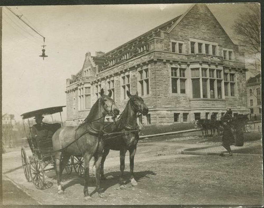
Bloomington residents can get a glimpse at what Bloomington looked like a century ago thanks to a recently published interactive map project at IU called Reconstructing Bloomington, which displays data on early 1900s Bloomington.
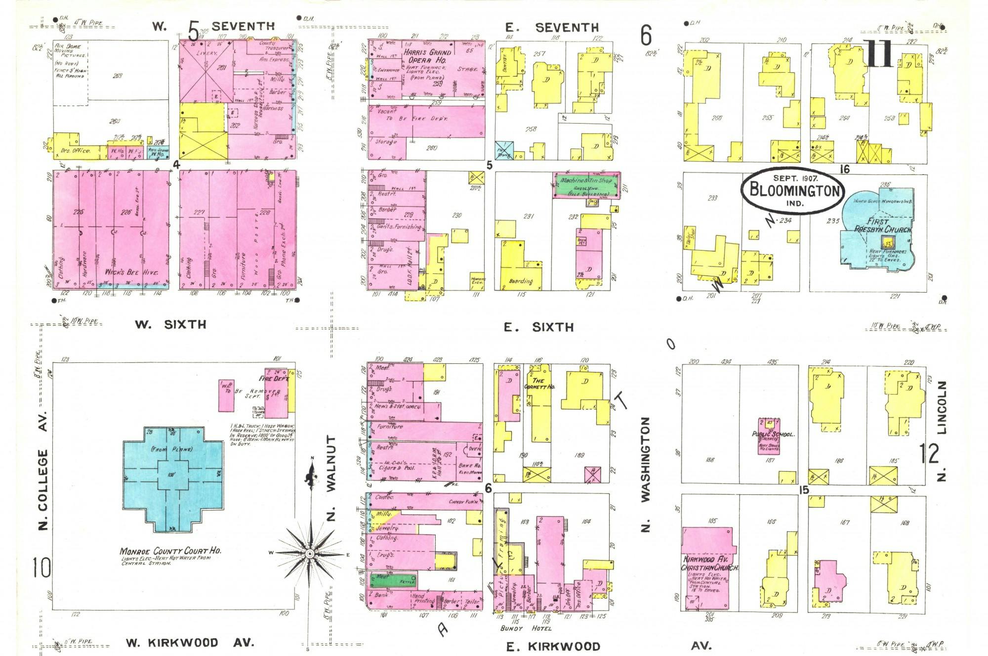
IU visiting geography professor John Baeten published the interactive map of Bloomington. Baeten and his team of 19 undergraduate students used historic data to depict Bloomington’s physical and social landscape in 1907.
Baeten’s geographic information systems class pinpointed data of 1907 Bloomington’s buildings and residents to create the map.
“What's novel is that this was done through a class rather than through a big grant or through a research institute,” Baeten said. “I thought this would be a neat opportunity for students to not just understand the technology of GIS, but have a final product they can be really excited about.”
What they found were parts of town unrecognizable from what locals know today, Baeten said.
The map depicts a college town with a majority student population, Baeten said. Over 300 horse stables, 26 grocery stores
downtown, factories on B-Line Trail and 13 buildings on IU’s campus marked some key differences. Now well-known businesses on Kirkwood Avenue were predominantly student housing, such as the Soma Coffeehouse building which was a
fraternity house.
Baeten said the map’s data includes locations of 2,613 buildings from old fire insurance maps and about 4,500 entries from a 1907 city directory. Baeten’s fall semester class is conducting a similar project for 1900 and he plans to add another year each semester.
Baeten said he hopes Reconstructing Bloomington can help address the lasting effects of historic issues like housing inequalities and pollution. For example, city planners can know not to build a playground on top of an old toxin-producing laundry facility.
IU graduate Marie O’Neill was in Baeten’s Geographic Information Systems class last semester and said the project gave her a new appreciation for Bloomington’s history.
“Bloomington is such a transitory space,” O’Neill said. “I can see a lot of students being like ‘what's the point of knowing its history.’ But to me it's really important to get to know the place you're living in, even if just for a few years.”
The project aims to engage with community members as well as students, Baeten said. One of his next goals is to allow community members to input information into the map.
Christine Friesel, who runs the Monroe County Field Notes project’s research on 19th century Bloomington, said combining information from her and Baeten’s projects would open the possibility to track the lives of past residents across the centuries.
“We want to layer on stories,” Friesel said. “Finding new ways to display history is the only way we’re going to be able to remember these stories of our community.”